
-
Upazila Related
Introduce to Upazila
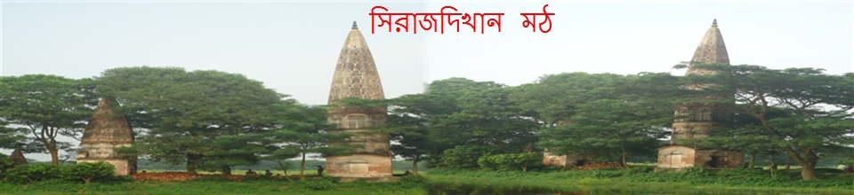
History & Tradition
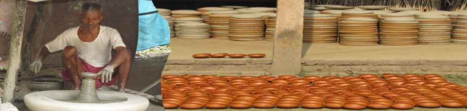
Geography & Economics
-
উপজেলা পরিষদ
-
About Upazila Administration
Office of the UNO
Services and others
Different lists
Various projects
-
Government offices
Security & Discipline
Health Related
Agriculture & Food
Land Related
Engineering & Communication
Human Resources
- Others Organization
- E-Service
- Gallery
- National Anthem
মেনু নির্বাচন করুন
-
Upazila Related
Introduce to Upazila
History & Tradition
Geography & Economics
-
উপজেলা পরিষদ
জনপ্রতিনিধি
কর্মকর্তা ও কর্মচারীগণ
সাধারণ সভার রেজ্যুলেশন
উপজেলা পরিষদ কমিটির সভা
বার্ষিক বাজেট
বার্ষিক উন্নয়ন পরিকল্পনা
পঞ্চবার্ষিক উন্নয়ন পরিকল্পনা
উন্নয়ন ও এডিপি কাজের প্রতিবেদন
বার্ষিক আয়-ব্যয় বিবরণী
তথ্য প্রদানকারী কর্মকর্তা
সম্পদ রেজিস্টার
নাগরিক সেবার তথ্য
-
About Upazila Administration
Office of the UNO
Services and others
Different lists
Various projects
-
Government offices
Security & Discipline
Health Related
Agriculture & Food
Land Related
Engineering & Communication
Human Resources
-
Others Organization
Educational Institutions
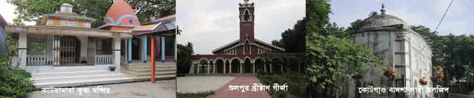
Religious Institutions
- E-Service
-
Gallery
Photo All
Video All
- National Anthem
Main Comtent Skiped
At a glance
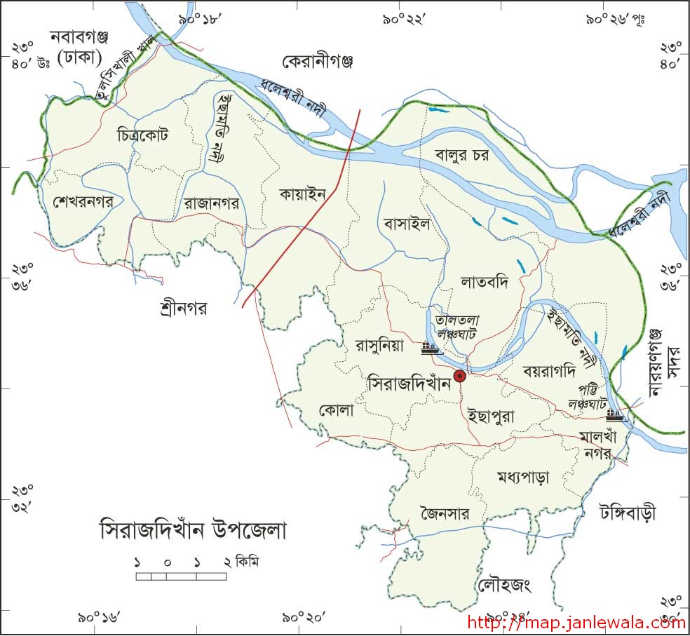
(A) Basic information (according to the 2011 census):
1. Boundaries of the upazila: Keraniganj upazila of Dhaka district and Narayanganj Sadar upazila on the north and east
Tongibari and Narayanganj Sadar upazilas, Louhjong and Srinagar upazilas on the south and Nawabganj and Srinagar upazilas on the west.
2. Area of the upazila: 180.19 sq km / 69.58 sq miles
i) Land size: 172.51 sq km: m.
ii) River area: 7.54 sq km: m.
3. Number of unions: 14
4. Number of mouzas: 124
5. Number of villages: 178
. Number of water bodies: 2 (open) and 49 (closed)

(B) Population:
1. Number of families: 59873
2. Total population: 288107
          i) Male: 143559 persons
          ii) Women: 144547
iii) Gender ratio: 9: 9
3. Population density: 1599 (sq km)
4. Population growth rate: 1.74
5. Poverty: 3.1
6. Average size of Khana: 4.74
7. Religion-based population:
            A- Muslim: 249032
            B- Hindu: 37200
            C- Christian: 1862
            D- Buddhist: 1
            E- Others: 12


Site was last updated:
2025-05-07 15:51:20
Planning and Implementation: Cabinet Division, A2I, BCC, DoICT and BASIS
Technical Assistance:
![]()
Developed By: